

 Feb 01, 2025
 4 min read
The Nazca Lines: How They Were Made, What They Were For, and 303 New Finds
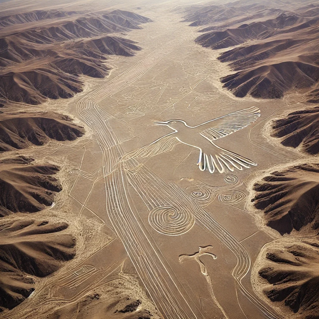
In 1982, the investigator Joe Nickell and a handful of relatives set out to reproduce one of the Nazca figures, a 134-metre condor, on a field in Kentucky. They used only wooden stakes, string and a simple measuring method based on a small drawing. They finished in about two days, and aerial photographs showed a figure accurate enough to pass for the original. The experiment answered the question that has driven most popular interest in the Nazca Lines, which is how anyone could have drawn them without seeing them from the air. It left the harder question open: why they were made.
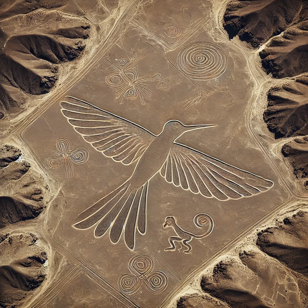
Illustration (not a photograph) of the kinds of figures found at Nazca: a hummingbird, a monkey and spirals.
What and where
The lines cover roughly 450 square kilometres of the arid pampa between the towns of Nazca and Palpa in southern Peru, about 400 km south of Lima. UNESCO listed them as a World Heritage Site in 1994. They include hundreds of straight lines, some running for kilometres, as well as trapezoids, spirals and zigzags. There are also dozens of large animal and plant figures, among them the hummingbird, monkey, spider, killer whale and condor. Most were made by the Nazca culture between roughly 500 BCE and 500 CE. Some older figures on hillsides near Palpa belong to the earlier Paracas culture.
How they were made
The desert surface is covered in stones darkened by iron and manganese oxides. Removing them, and piling them along the edges, exposes the paler ground beneath. Almost no rain, little wind at ground level and a stable climate have preserved the marks for up to two thousand years. Remains of wooden stakes found at the ends of some lines support the idea that they were laid out with cords and posts. As Nickell's experiment showed, a small, organised group could make even the largest figures within days.
The lines were first described in modern times by the Peruvian archaeologist Toribio Mejía Xesspe, who studied them on foot in 1927. They became famous after pilots flying over the region in the 1930s and 1940s drew attention to the figures.
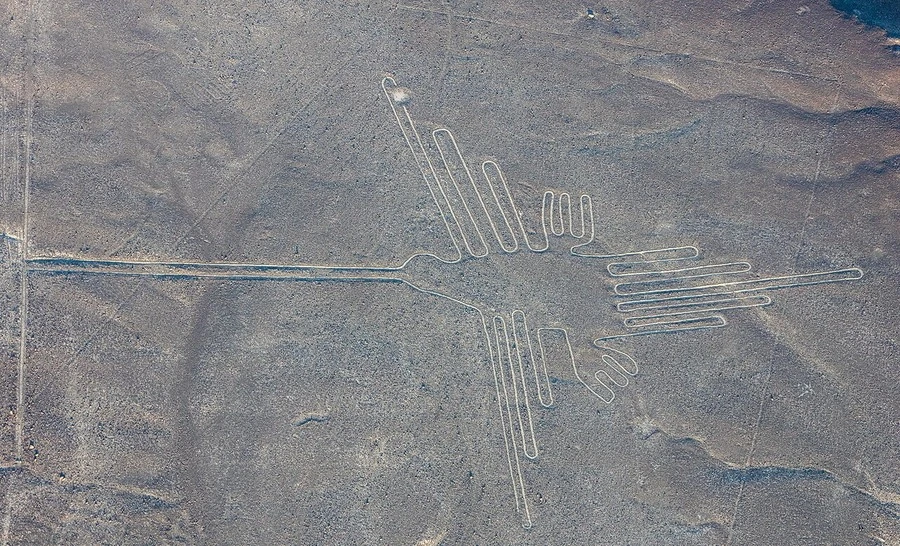
When the lines were tested statistically, they matched astronomy no better than chance. Photo: Diego Delso / Wikimedia Commons, CC BY-SA 4.0
What were they for?
An astronomical calendar? The German-born mathematician Maria Reiche, who studied and protected the lines for about 50 years, believed many pointed to sunrises, sunsets and star risings. When the astronomer Gerald Hawkins tested this statistically in the late 1960s, he found no more alignments than chance would produce. Most researchers now think astronomy played at most a minor role.
Water and ritual. The most widely supported view links the lines to water, the most precious resource in one of the driest places on Earth. Several lines point towards water sources or follow underground water channels. Anthropologists such as Johan Reinhard and the astronomer Anthony Aveni argued that many lines were ritual pathways, walked in procession during ceremonies for water and fertility. Broken pottery found along some lines fits that idea, and the figures each appear to be drawn as a single continuous line that could be walked.
Messages to aliens? In Chariots of the Gods? (1968), Erich von Däniken suggested the lines were landing strips or signals for visitors from space. The idea has no support from archaeologists. The "runways" are shallow scrapes in loose stones that no aircraft could use. The figures match the art on Nazca pottery and textiles. The technique is well within the abilities of the people who lived there.
A new wave of discoveries
New figures are still being found. In 2024, a team led by Masato Sakai of Yamagata University used an AI model to scan high-resolution aerial images. Six months of follow-up fieldwork confirmed 303 previously unknown figurative geoglyphs, nearly doubling the number known (PNAS, 2024).
The new finds showed a clear pattern. Most were small "relief-type" figures, averaging about nine metres across. They sit beside footpaths, where they could be seen from the ground, and often depict people and domesticated animals. The large "line-type" figures mostly show wild animals and lie along the network of straight lines. The researchers suggest the small figures were seen by people travelling along the paths, and the large ones were part of communal rituals.
Threats
The lines are fragile. A footprint can last centuries. In 2014, activists from Greenpeace left footprints and stones beside the hummingbird figure during a publicity stunt, and in 2018 a lorry driver drove across part of the site, damaging three lines. Flooding, mining and expanding farmland add to the pressure. Visitors can see the figures safely from light aircraft or from a roadside viewing tower on the Pan-American Highway.
What makes the Nazca Lines remarkable isn't a mystery that defies explanation. It is that a society without writing or aircraft organised itself, over centuries, to create a landscape of ritual on a scale that still impresses from the sky.
Sources
- UNESCO, "Lines and Geoglyphs of Nasca and Palpa". https://whc.unesco.org/en/list/700/
- Sakai M, Sakurai A, Lu S, Olano J et al., "AI-accelerated Nazca survey nearly doubles the number of known figurative geoglyphs and sheds light on their purpose", Proceedings of the National Academy of Sciences 121 (2024). https://doi.org/10.1073/pnas.2407652121
- Wikipedia, "Nazca lines". https://en.wikipedia.org/wiki/Nazca_lines





Comments (0)
Leave a Reply
Comments are moderated. Please read our Comment Policy before posting.
Log in to post a comment.